
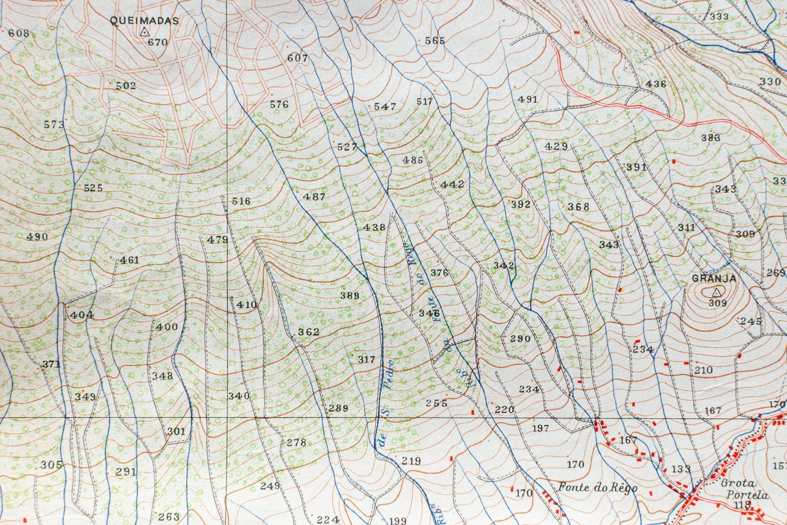
Interactive mapping is no longer just for geographers: it has become a valuable tool for businesses that want to visualise and analyse their geospatial data. By layering business data onto dynamic maps, you can reveal trends and opportunities that traditional tables cannot show.
For example, a delivery company can optimise its routes based on traffic and urban density; a retail network can analyse its geographic coverage and identify high-potential areas; a local authority can track the progress of its urban projects in real time.
Modern mapping tools such as Leaflet, Mapbox and ArcGIS allow extensive customisation, with interactive filters, multiple layers and real-time updates. These maps become smart, collaborative management interfaces.
By combining mapping and data science, you turn your geographic data into a powerful strategic asset that supports operational decisions and regional development.
Want to put your data on the map? Discover our GIS mapping & spatial analysis services.